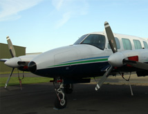
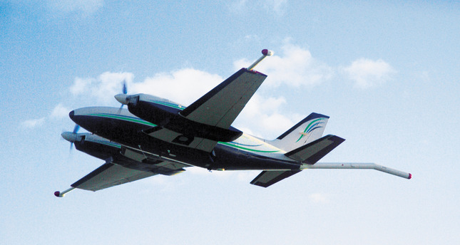
A fixed-wing aircraft has a number of advantages in addition to its lower operating costs.
Aircraft
Airborne geophysical surveys, whether installed on helicopters or fixed-wing aircraft, are the most effective and rapid means of evaluating the potential for resources in both unexplored areas and mature mining regions. The use of GPS satellite navigation and powerful microcomputers onboard the aircraft, to control the systems and to record data; and on the ground to process, plot, interpret and model the data; has made airborne geophysical surveying a powerful and necessary tool in man's search for materials beneath the ground.
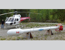
Fixed-wing and helicopter-borne airborne geophysical systems are designed for use in different terrains, although helicopter-borne systems are undertaking high-resolution surveys in areas traditionally the domain of fixed-wing systems.